Route Maps and Visualizations
Maps and visualizations for each of the routes considered for further study can be found in the drop downs below. Click each drop down below to view the content available for each route. A map of all the routes can be found here.
Please note, that these visualizations were intended to be used for informational purposes only. These visualizations served as draft concepts. The study included a conceptual engineering process that took a deeper dive into the design which can be found in the Alternatives Evaluation Technical Memorandum.
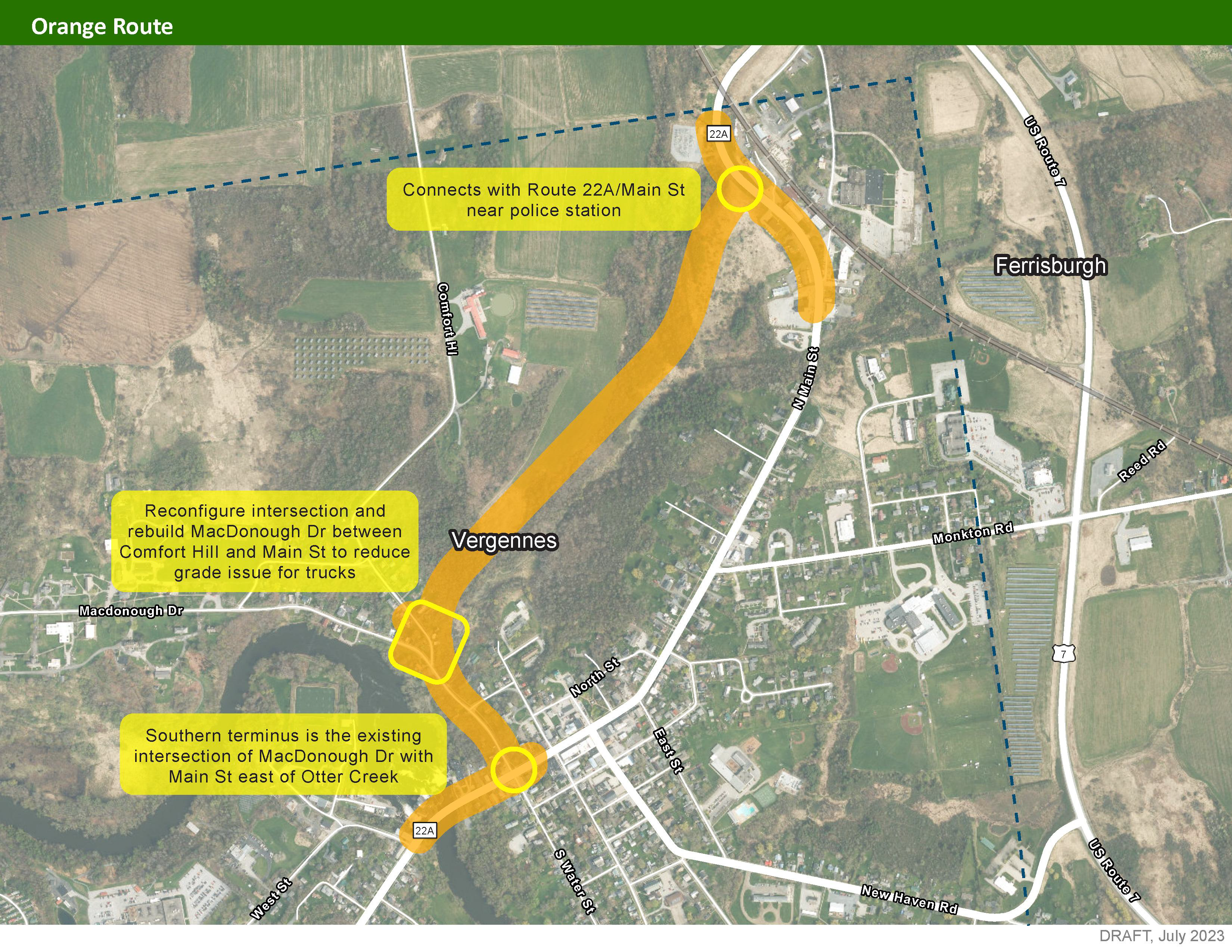
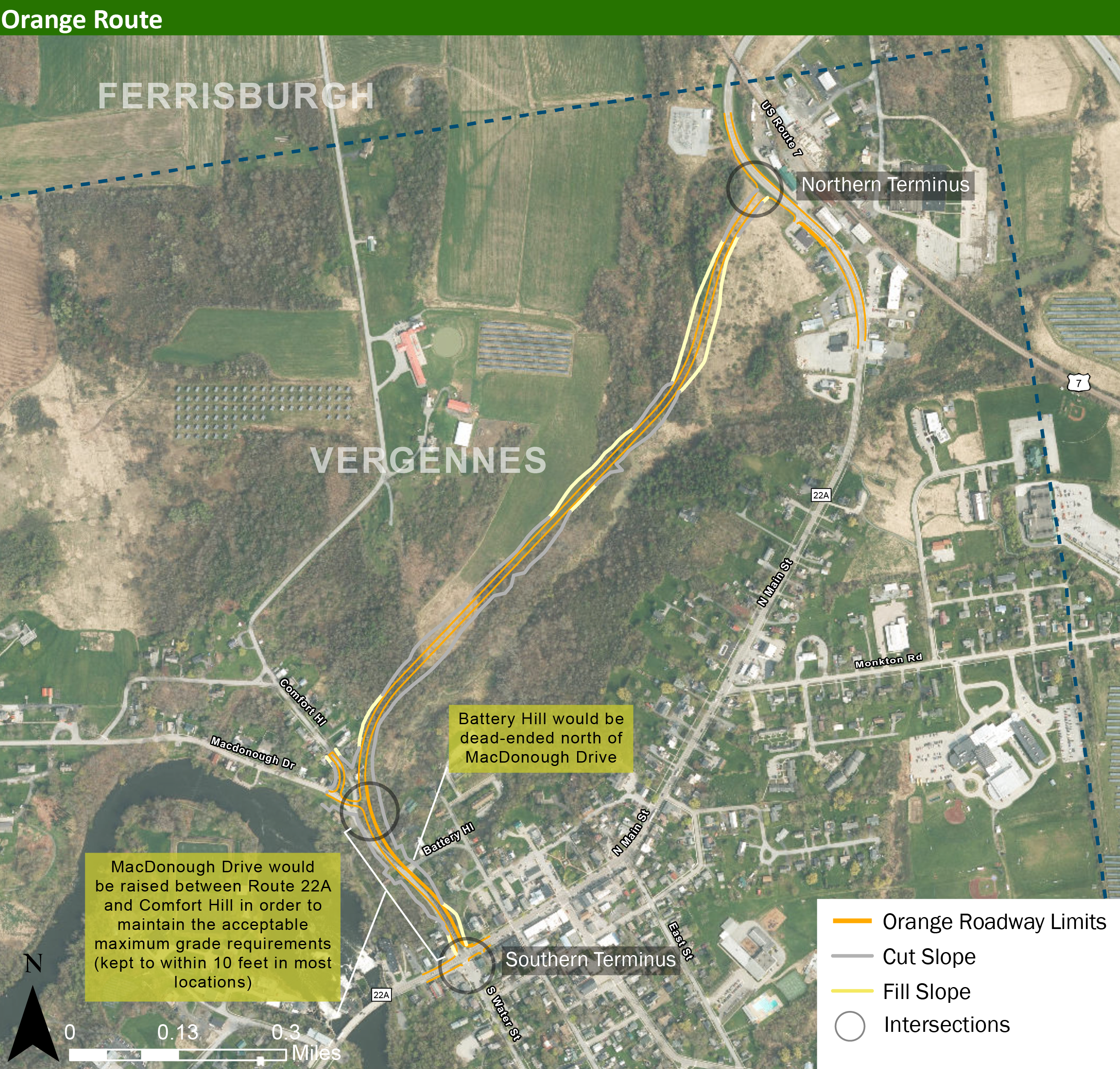
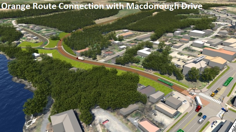
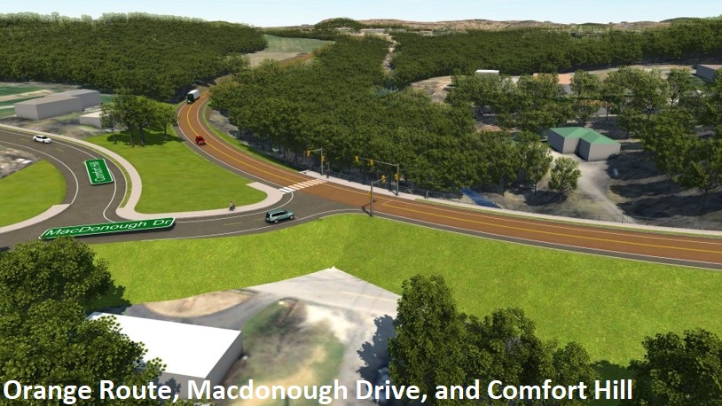
Orange Route
This route includes the construction of a new roadway west of Route 22A entirely within Vergennes, in close proximity to downtown.
Direct links to the Orange Route map and video visualization:
Orange Route Visualization (video)
All graphics and visualizations of the Orange Route are below. Click below to enlarge the visualizations. Use the left and right arrows to switch displays.
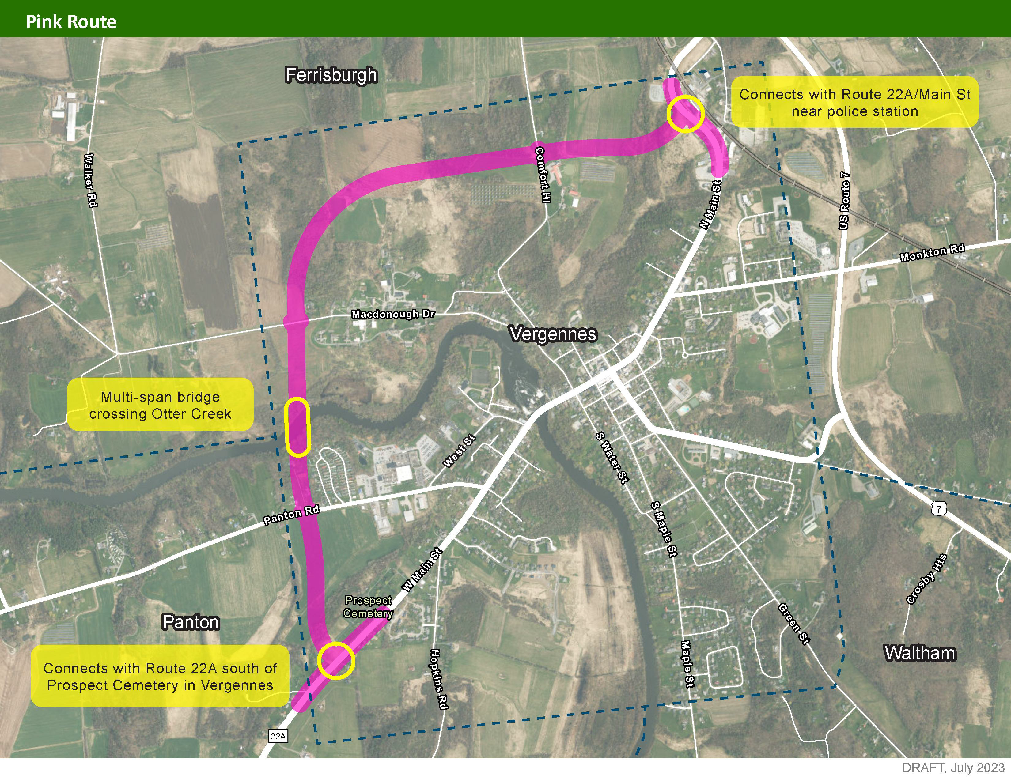
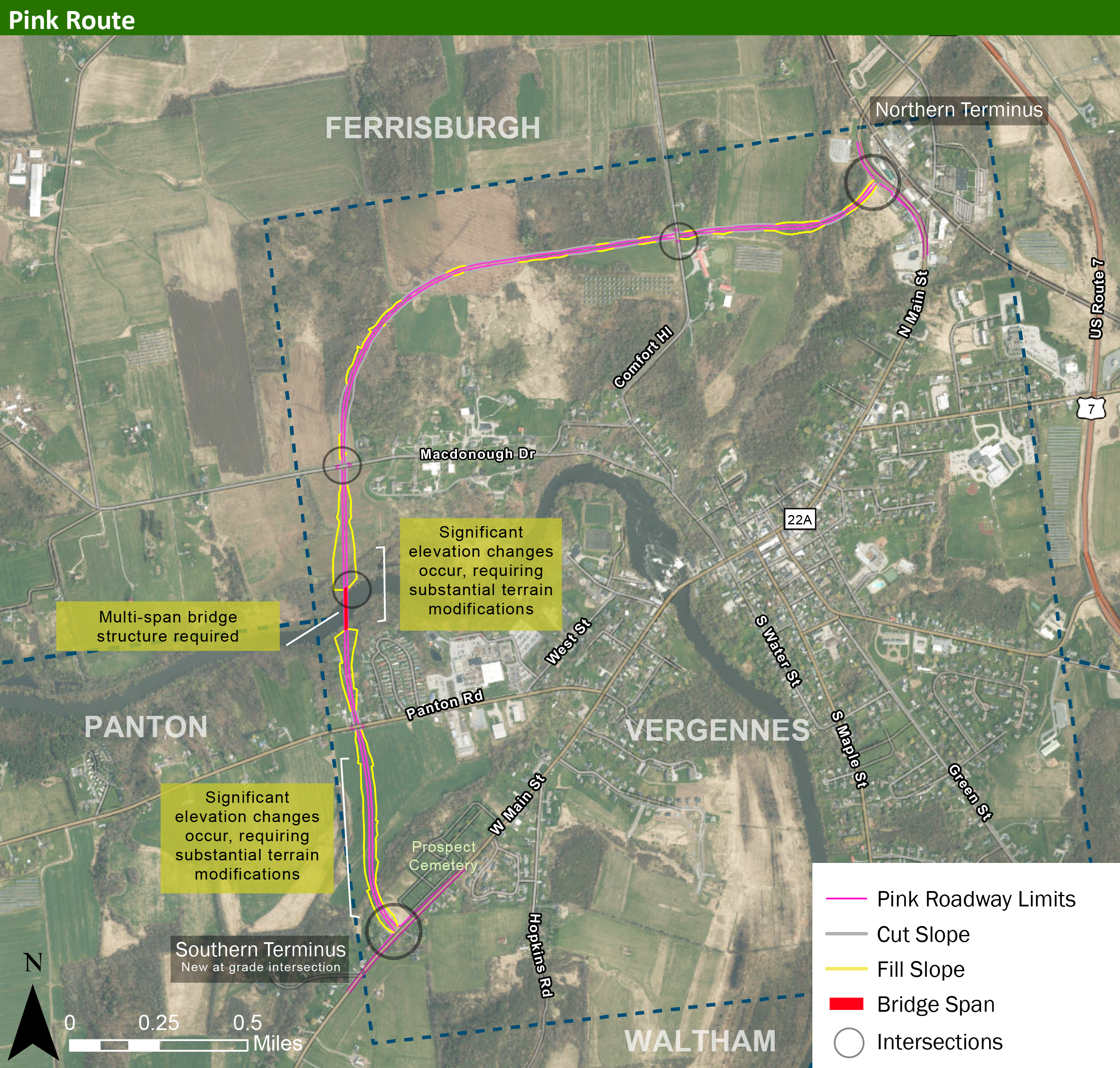
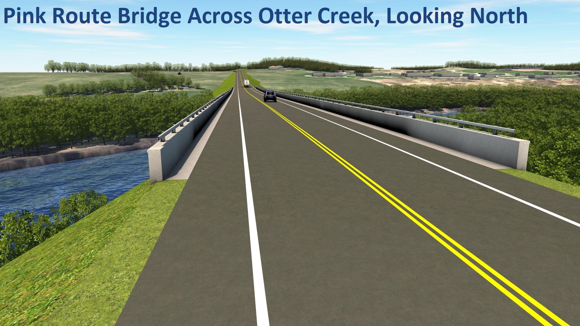
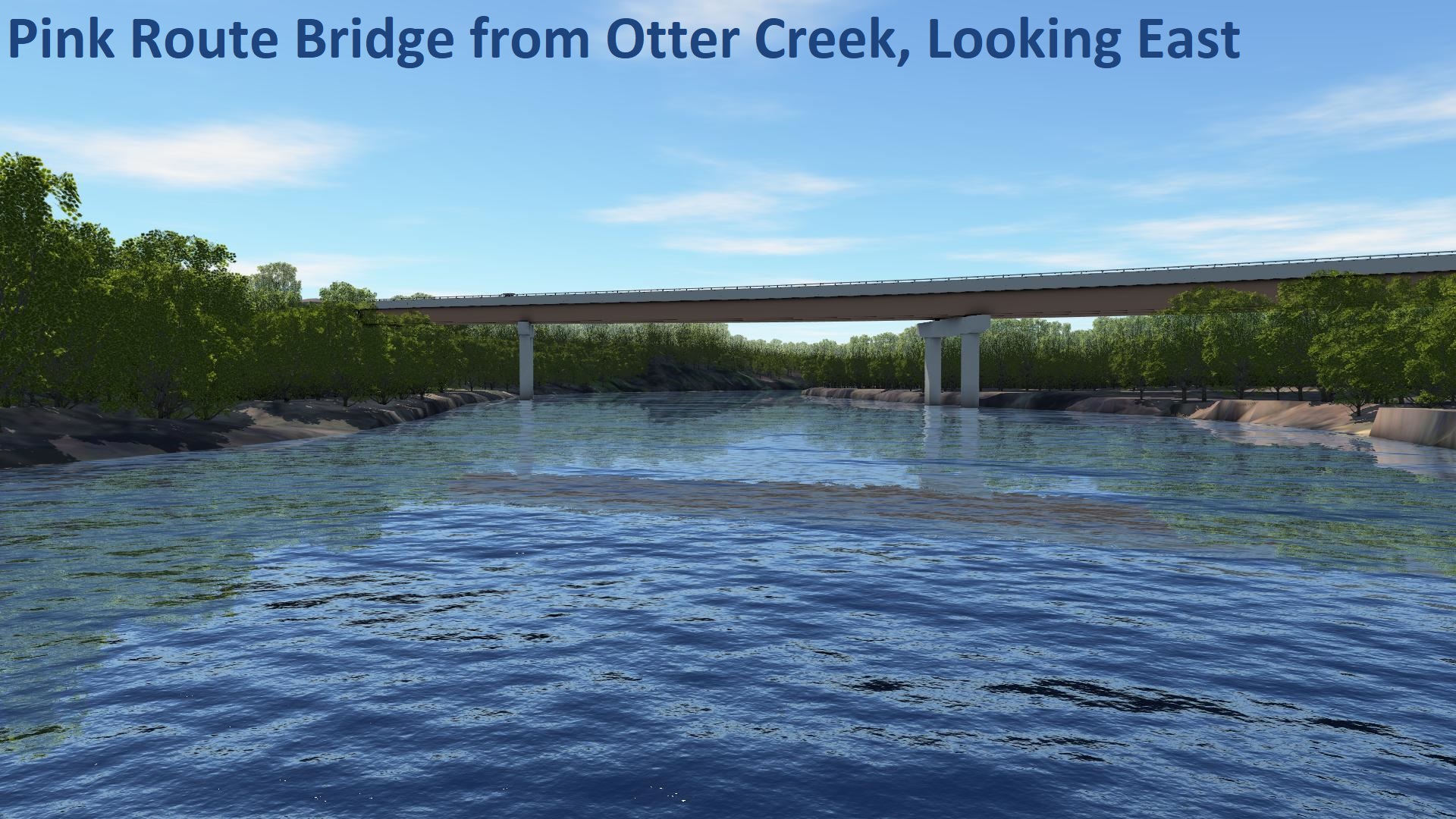
Pink Route
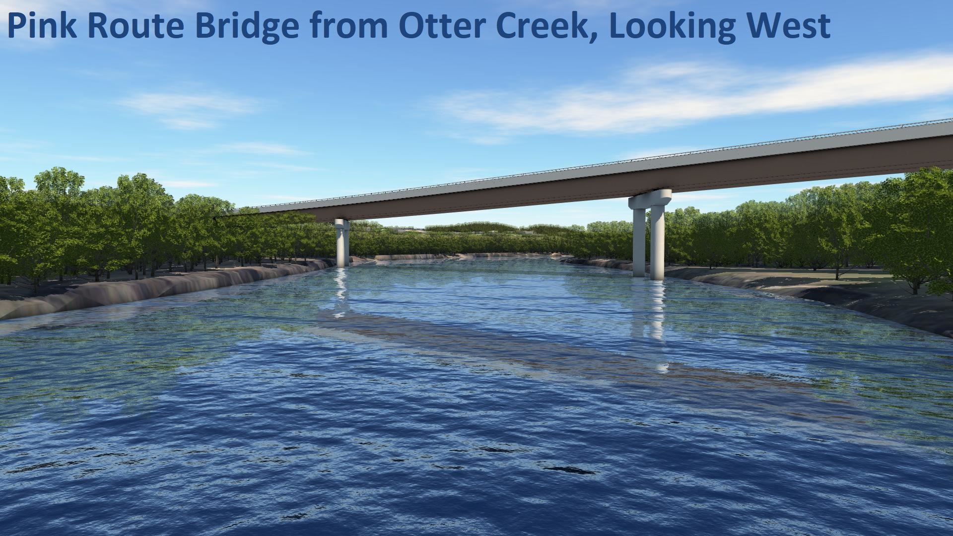
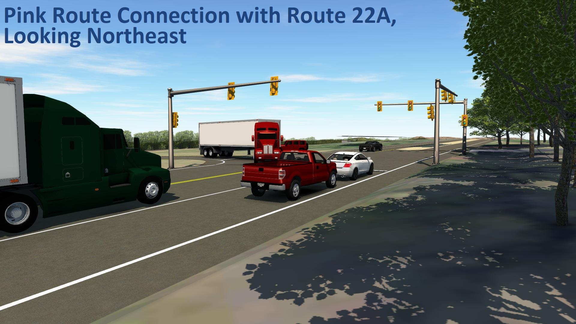
The Pink Route includes the construction of a new roadway in Vergennes.
Direct links to the Pink Route map and video visualization:
Pink Route Visualization (video)
All graphics and visualizations of the Pink Route are below. Click below to enlarge the visualizations. Use the left and right arrows to switch displays.
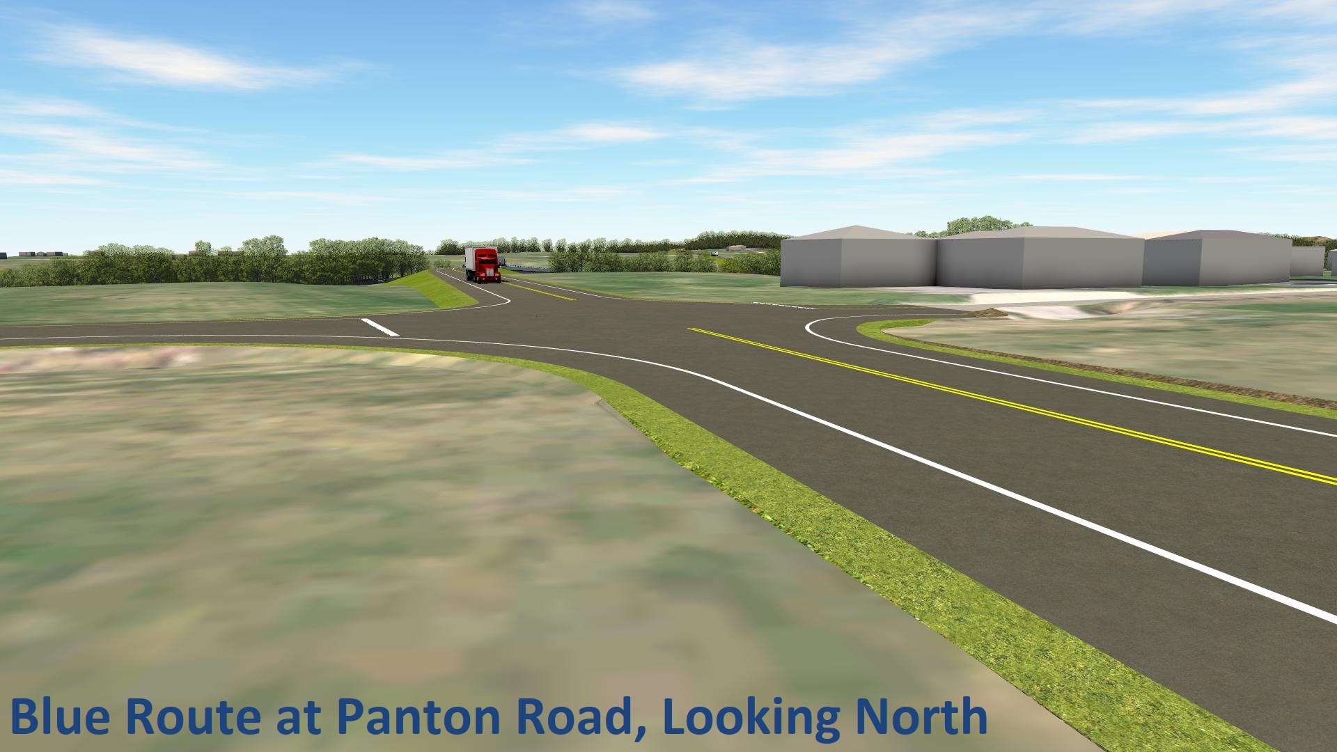
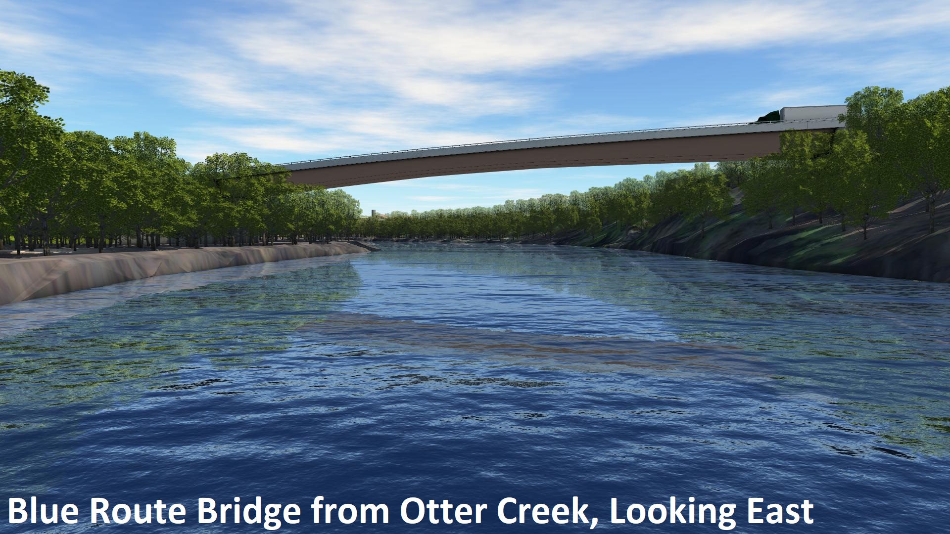
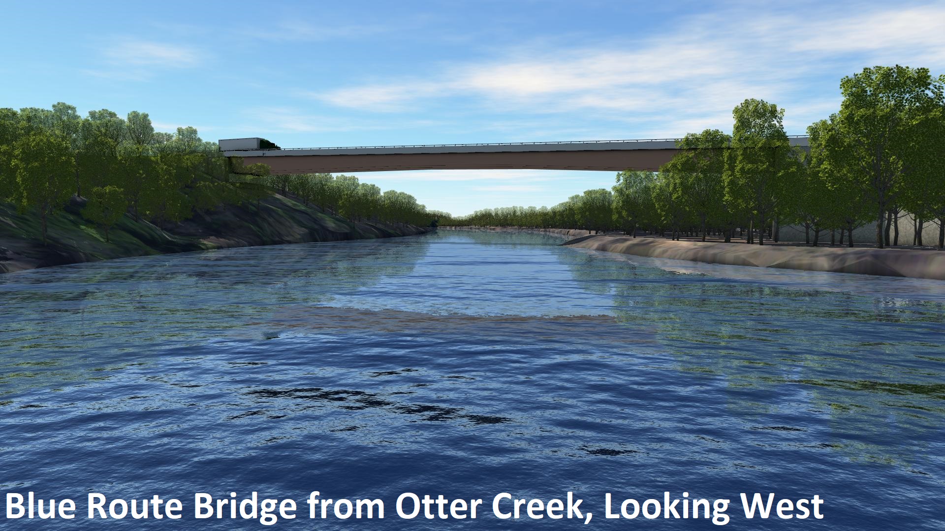
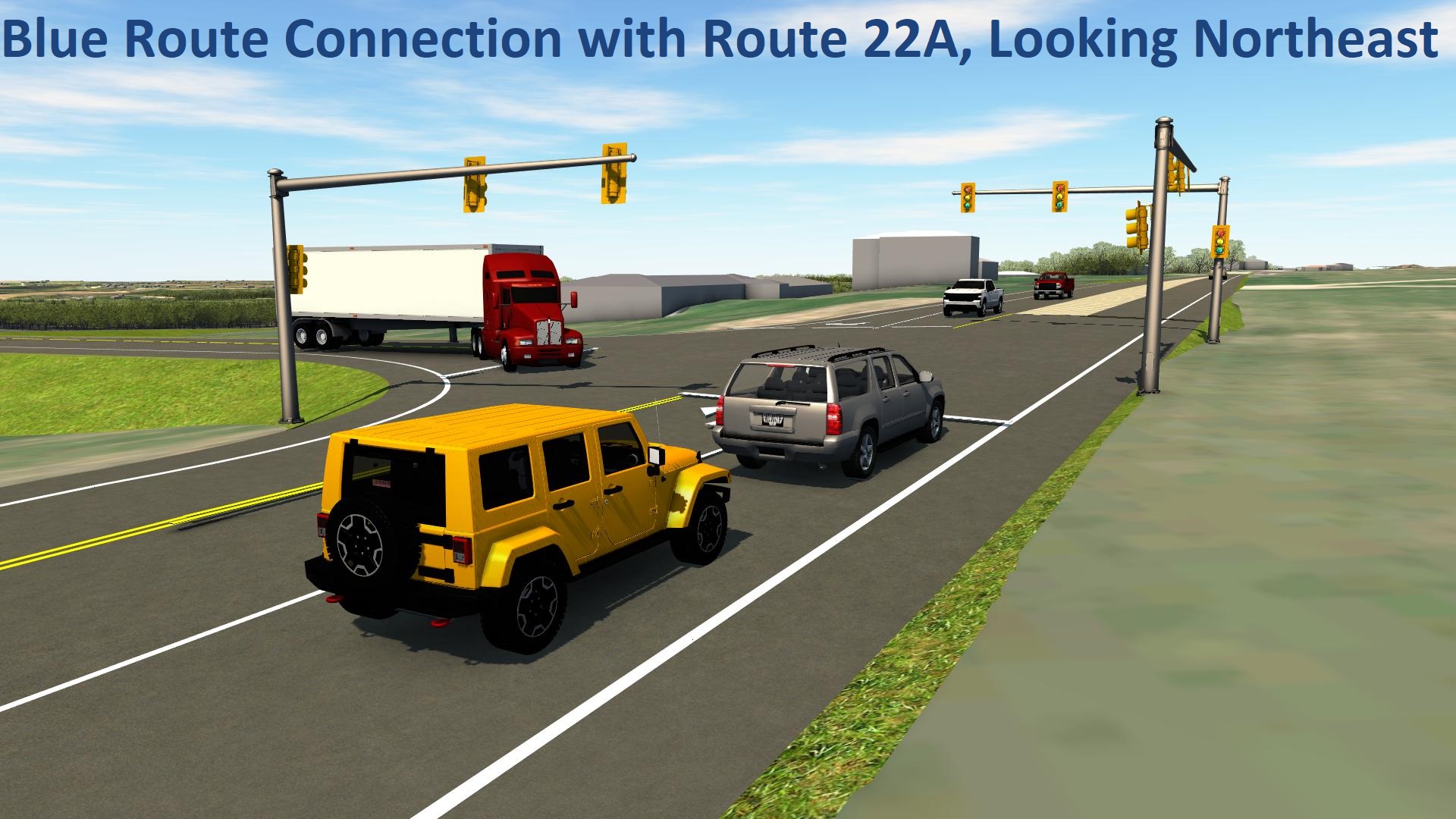
Blue Route
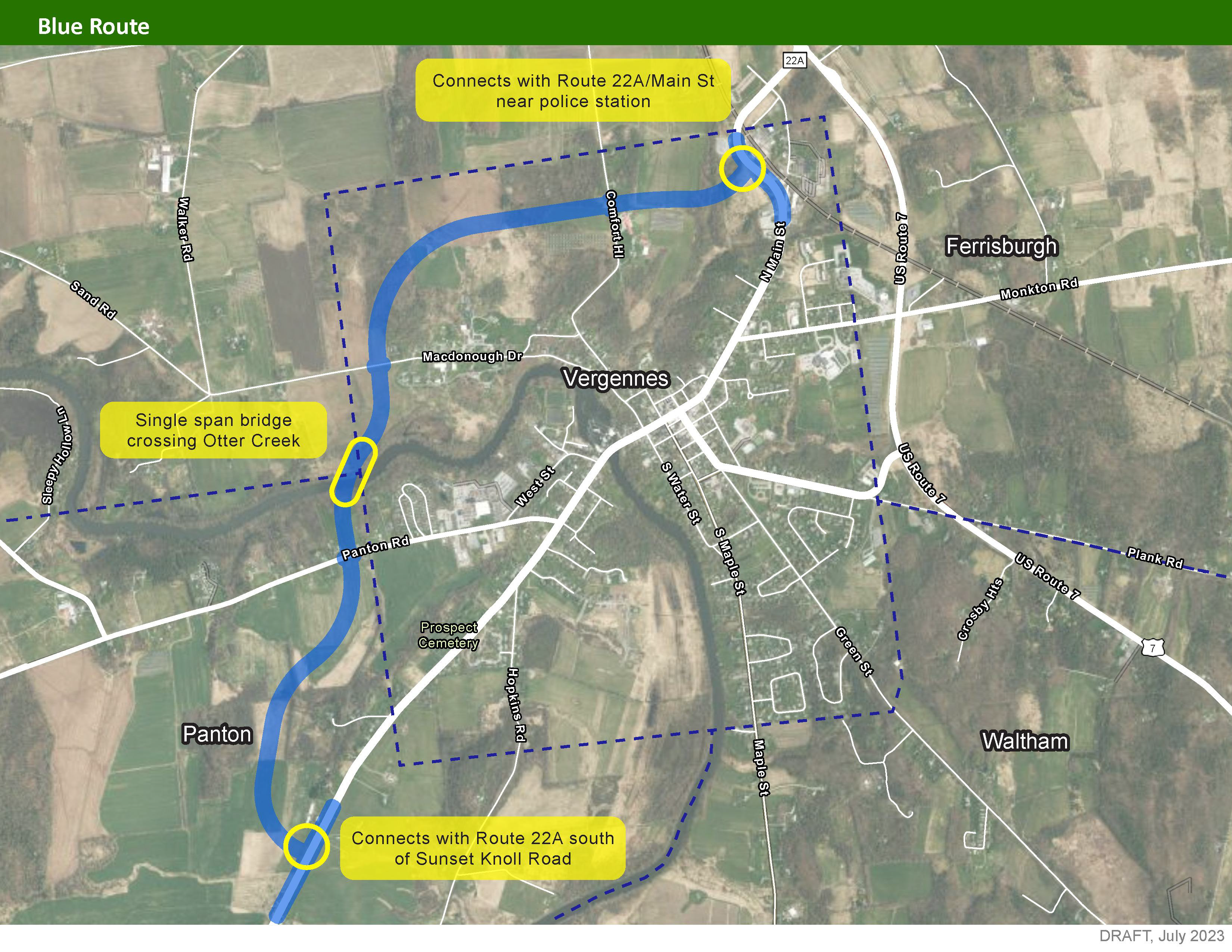
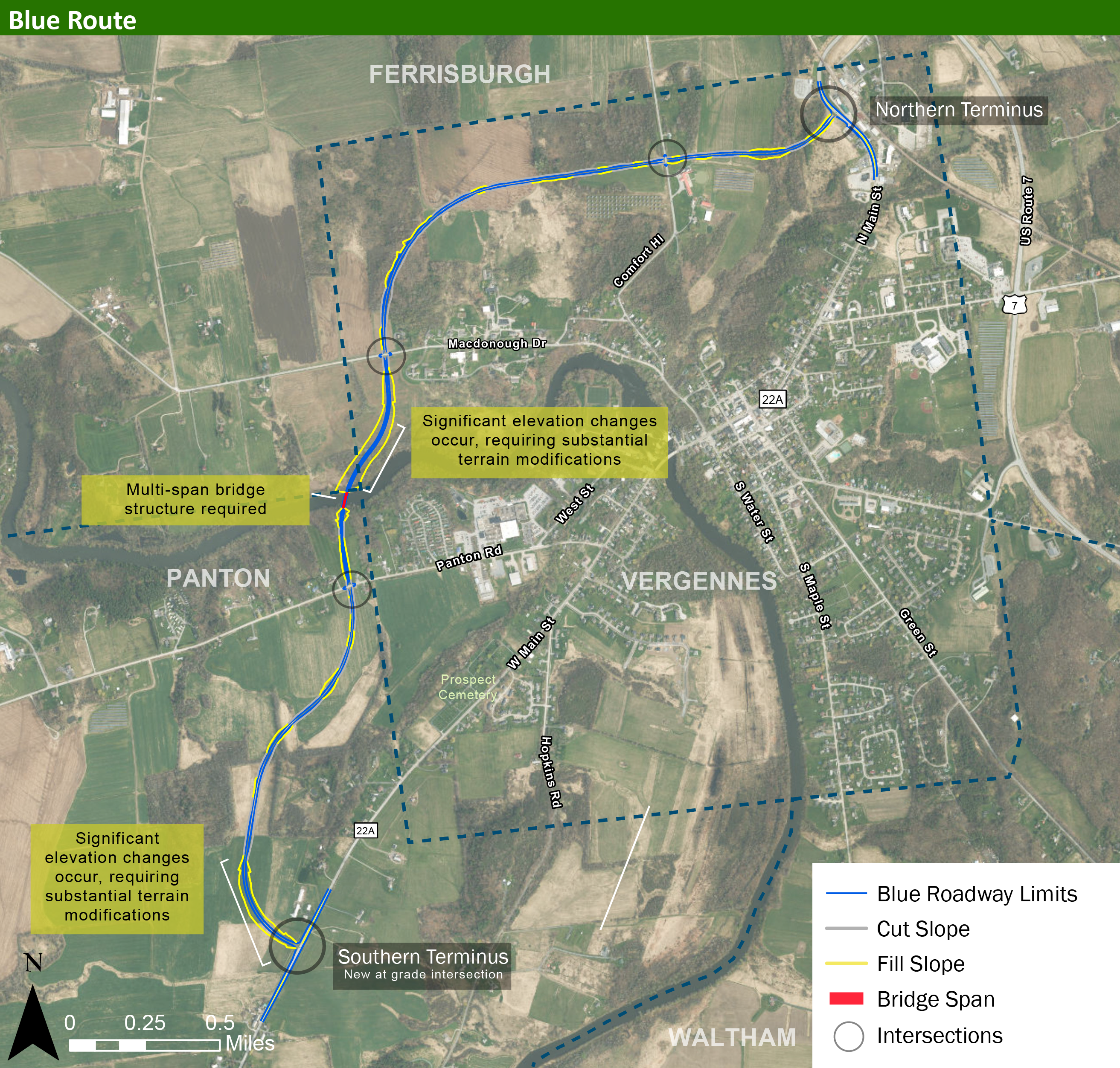
The Blue Route includes the construction of a new roadway mostly in Vergennes and Panton.
Direct links to the Blue Route map and video visualization:
Blue Route Visualization (video)
All graphics and visualizations of the Blue Route are below. Click below to enlarge the visualizations. Use the left and right arrows to switch displays.
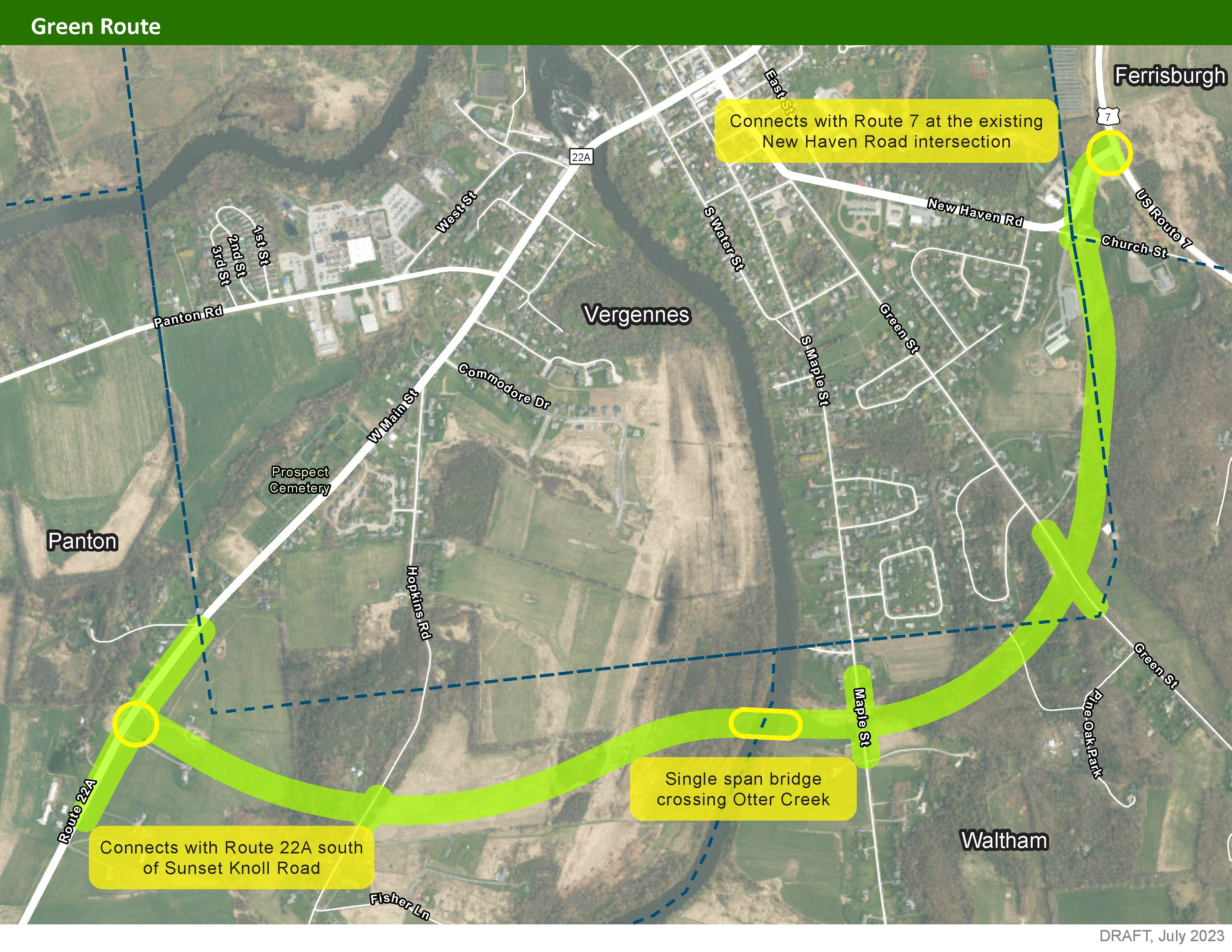
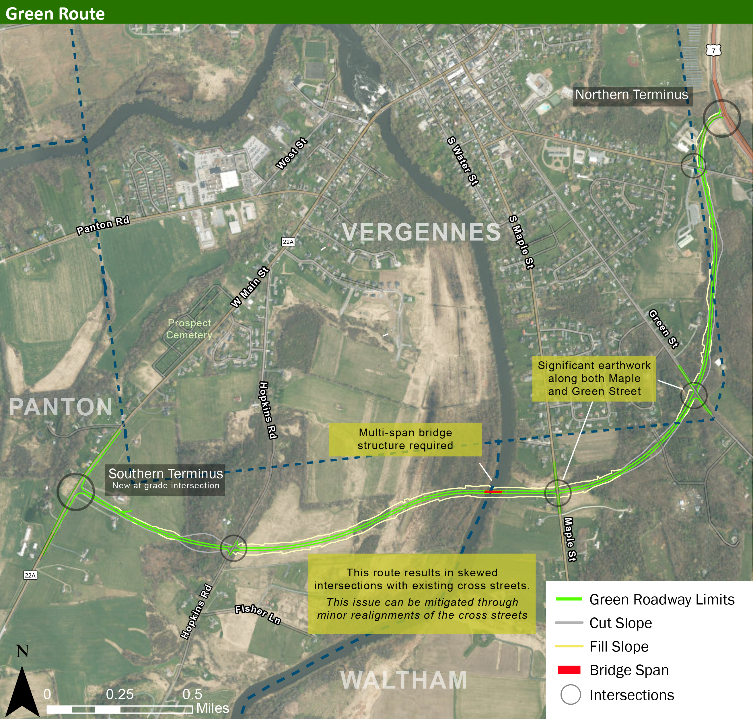
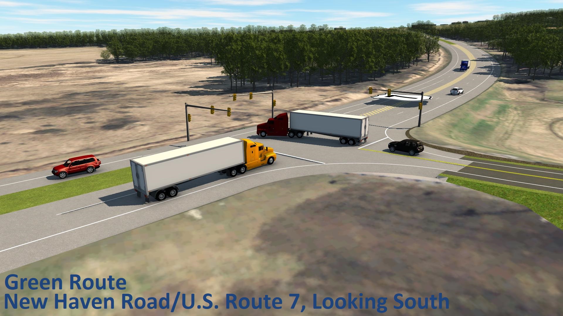
Green Route
This route includes the construction of a new roadway primarily south and east of Vergennes within Panton, Waltham and Ferrisburgh.
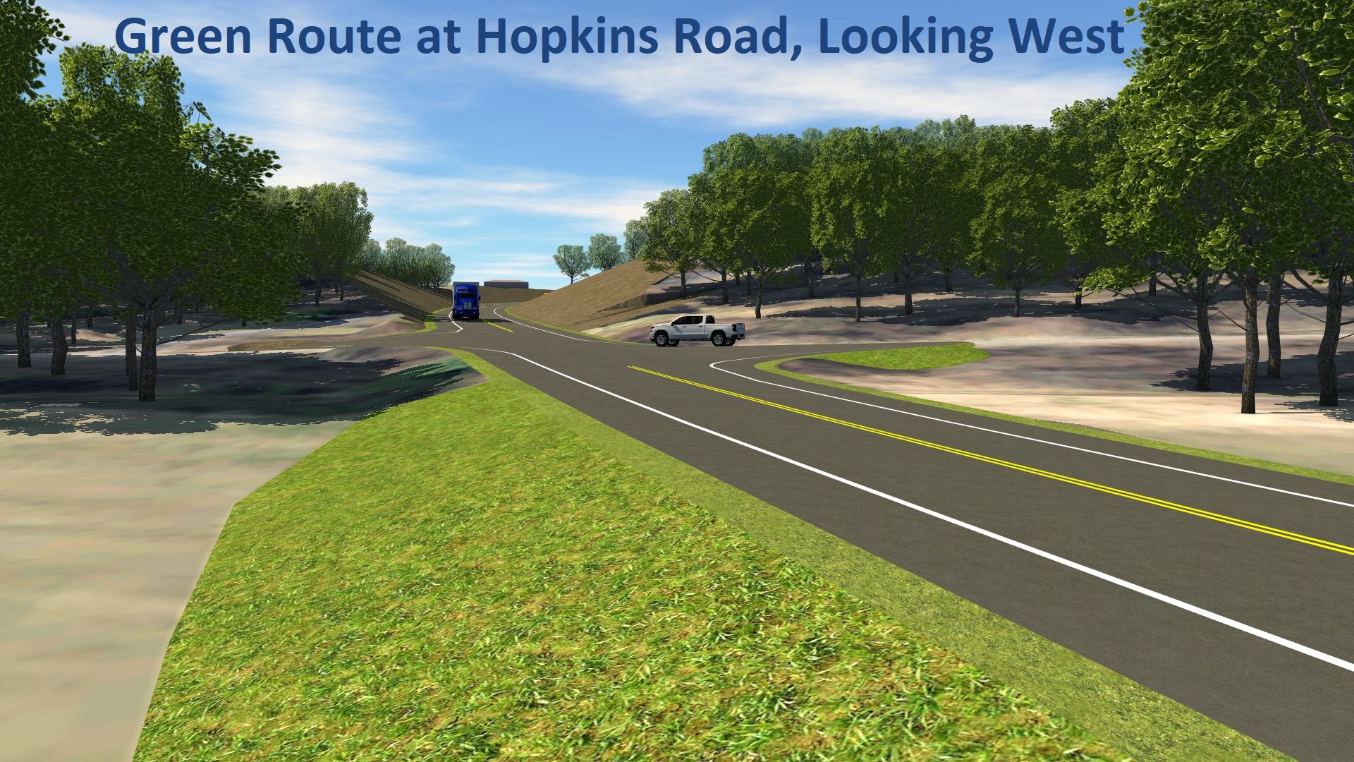
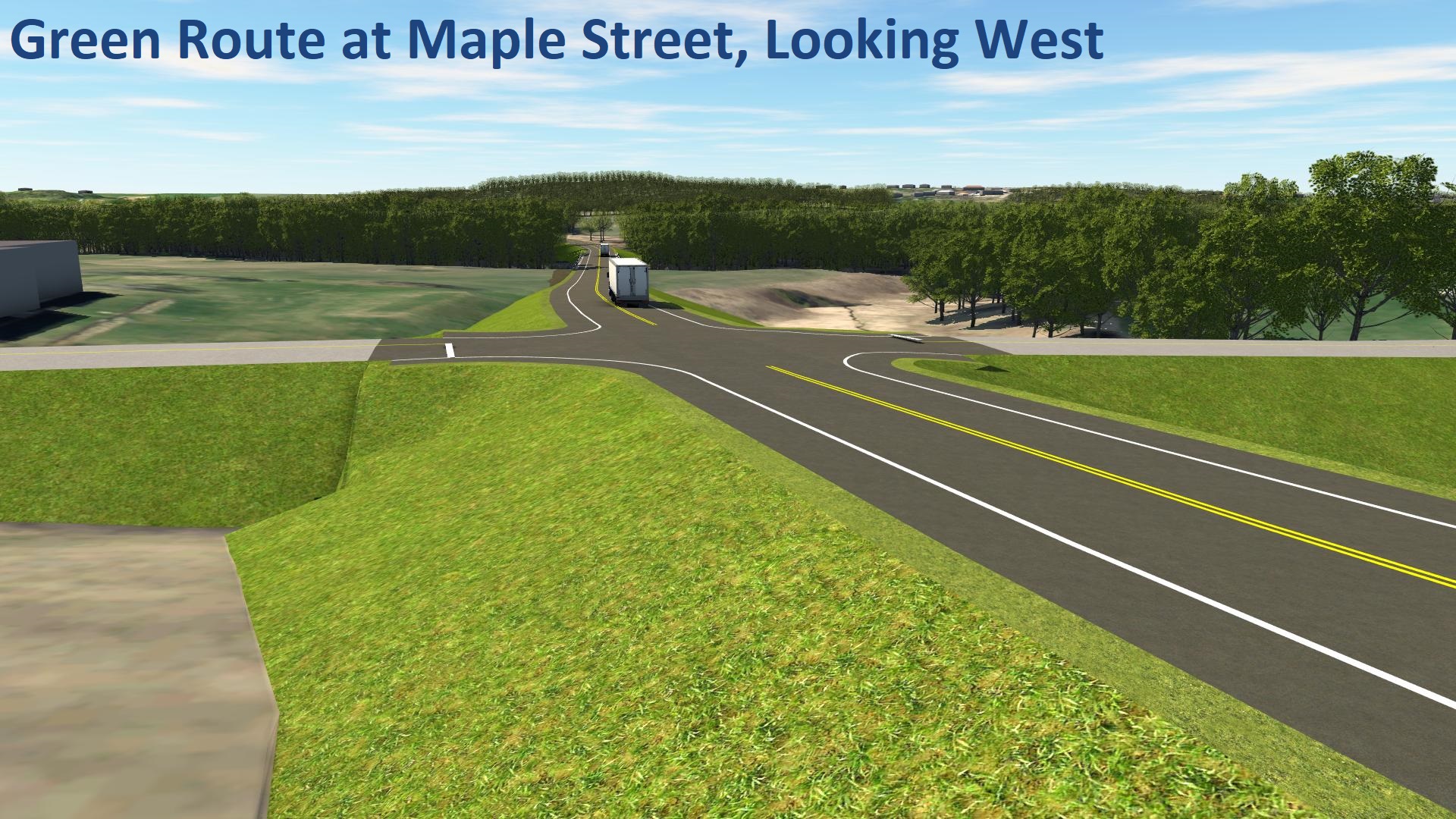
Direct links to the Green Route map and video visualization:
Green Route Visualization (video)
All graphics and visualizations of the Green Route are below. Click below to enlarge the visualizations. Use the left and right arrows to switch displays.
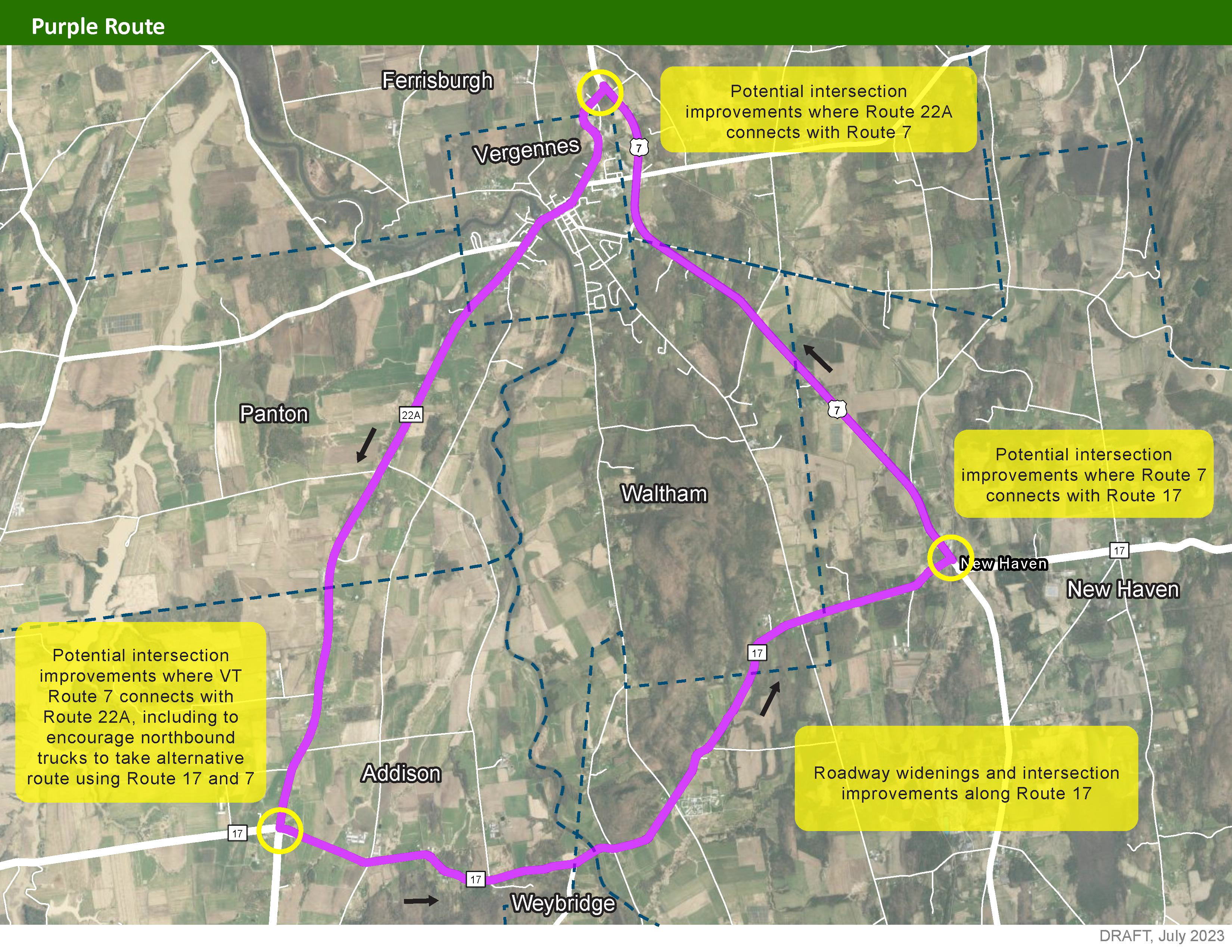
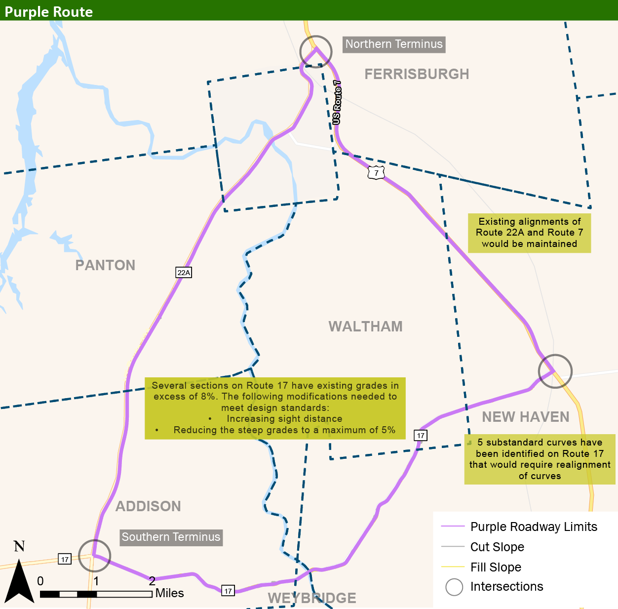
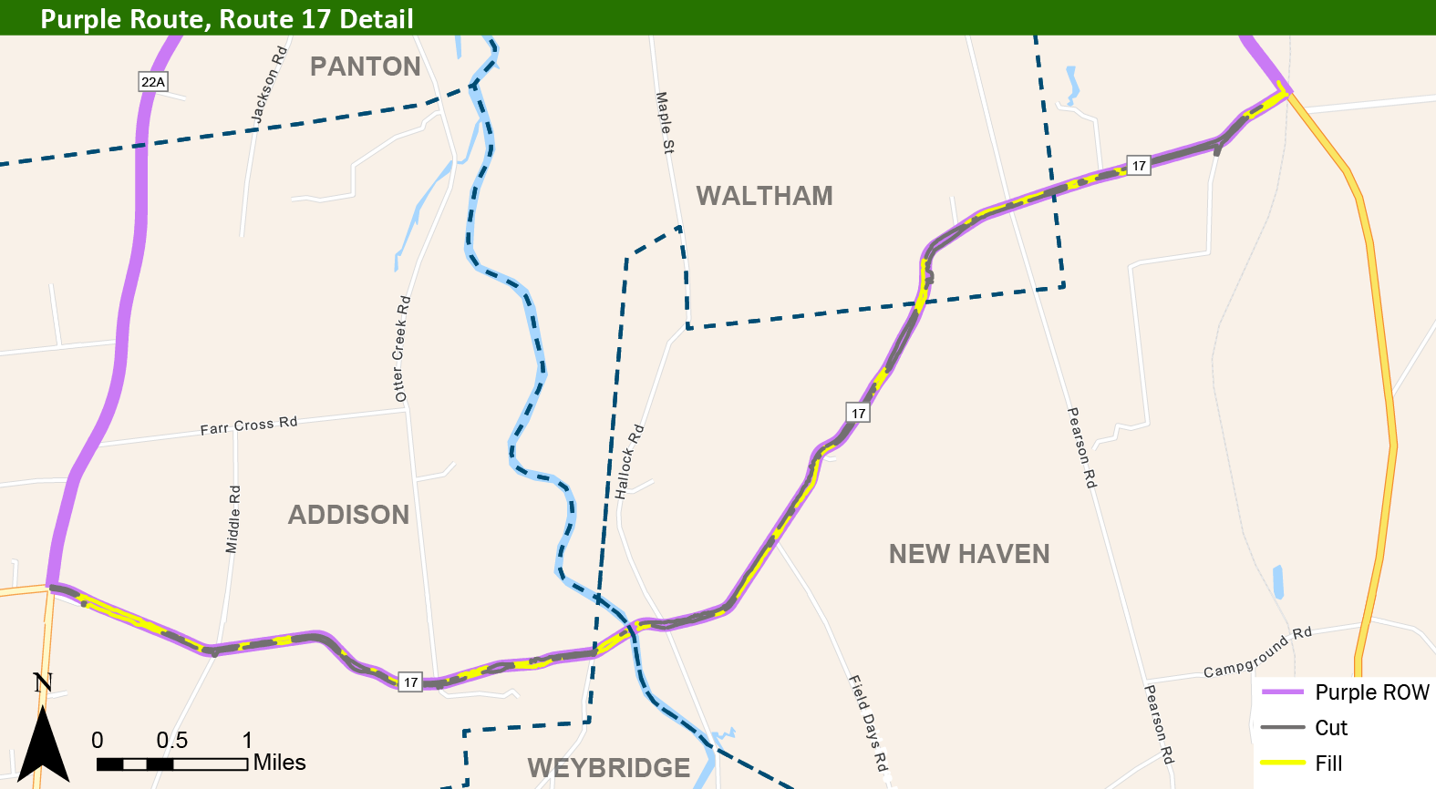
Purple Route
This route would shift northbound truck traffic currently using Route 22A to Route 17, maintaining southbound truck trips on Route 22A through Vergennes.
Direct links to the Purple Route map and video visualization:
Purple Route Visualization (video)
All graphics and visualizations of the Purple Route are below. Click below to enlarge the visualizations. Use the left and right arrows to switch displays


